You might also like these products
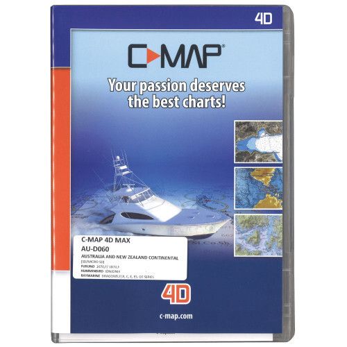
C-MAP 4D Max Chart
$349.00
C-Map 4D chart Suits Furuno DB7 - DB9 / GP1670F - GP1870F
The C-MAP 4D MAX Chart Card is the only maritime chart plotting solution that lets you completely customise your digital navigation charts. This card features MAX content and you can choose when to purchase additional Value-Added-Data to enhance your boating or sailing experience. With C-MAP 4D MAX, you enjoy your time on the water knowing your digital marine charts and GPS maps are based on reliable, updated marine navigation and information.
- Satellite Images with 2D and 3D Overlay
C-MAP 4D MAX includes a navigational perspective with high-resolution coastal imagery overlaid on the most accurate and up-to-date vector data, plus thousands of extraordinary photos for the most popular marinas and areas of interest.
With raster charts, you have an additional reference source for navigational awareness. Get "at-a-glance" information using the nautical paper charts overlaid on the multi-dimensional shaded relief to have a new visual experience.
- Easy Routing
Enter start and end points along with specific boat parameters and automatically receive way points of the shortest route; highlights potential hazards and displays varying levels of alerts for each segment of the route, allows you to manually adjust the route.
C-MAP 4D MAX Chart Card Features:
- Base Cartography
- Port Info
- Tidal Heights
- Tidal Flows
- Animated Tidal Arrows
- Ocean Currents
- Guardian Alarm
- Detailed Harbour Charts
- C-Marina Port Database
- Major Roads
- Detailed Roads
- Aerial Photos
- Land Elevations
- Nav-Aids
- Multi-Language (UNICODE)
- Perspective (Bird's Eye) View
Information:
Contact:
07 577 0250 50A Cross Road, Unit 1, Sulphur Point, Tauranga
Visit us in store
Monday to Friday 8am - 5pm